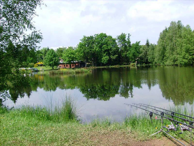
Fishing
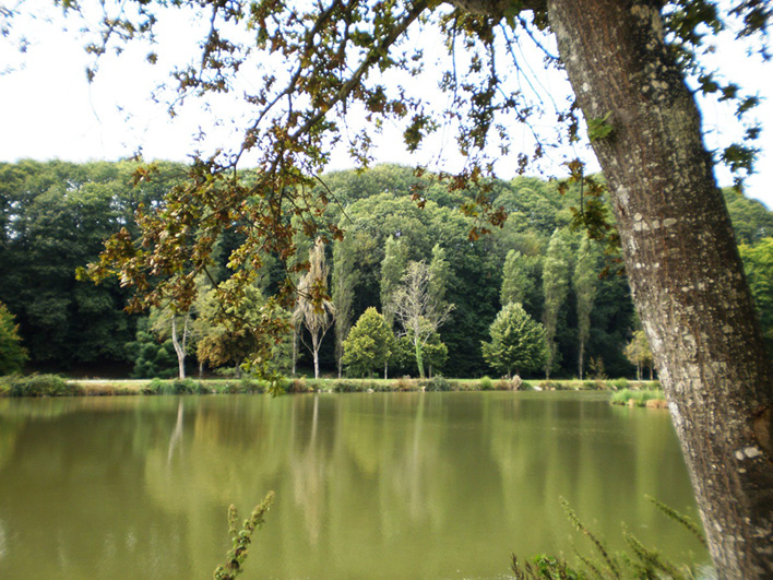
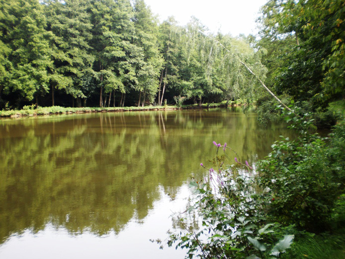
Mayenne is a fisherman's paradise. The beautiful river from which the department takes its name offers hundreds of first-class fishing locations, and sign-posted areas -' Mayenne Peche' - indicate prime fishing spots with accessible parking, as well as picnic areas. Catch pike-perch, trout and pike along the River Mayenne, but make sure you have your fishing licence handy (unless fishing on a privately-owned river or lake). Licences are usually obtainable at the local tabac or fishing-tackle shop.
For a guide to fishing in Mayenne, including night-fishing, Click Here
or tel: +33 (0)2 43 69 12 13.

Walking and Hikes
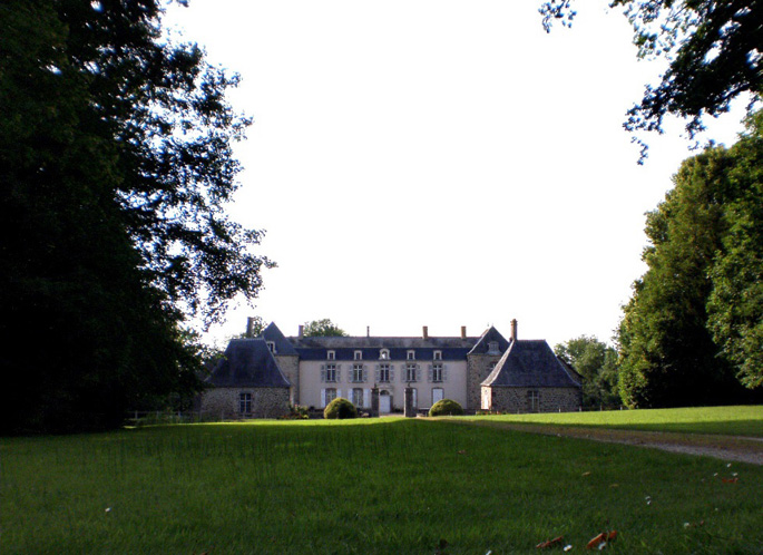
There are many scenic walks and bicycle trails leading from the village of Juvigne. For the more adventurous, the French trail system is a superb guide, extending across the entire Mayenne region.
|
Walking including the GR37 (Port-Brillet Forest): The French trail system is made up of 3 types of path: long distance (GRs) marked in red and white, regional (GRPs) marked in red and yellow and local (PRs) marked in a single colour - usually yellow. The GR37 crosses Mayenne from east to west from Sille-le-Guillaume in Sarthe to Jublains,Andouille and La Gravelle through to Vitre in Ille-et-Vilaine where it connects with the GR34 for Brittany. At Andouille, the GR374 branches off towards Ernee and Pontmain and eventually, in the Normandy Maine Regional Park, it connects to the GR22-C leading to Pre-en-Pail. Between Andouille and La Gravelle, the forests and lakes around Port Brillet are a place of mystery and legend, where charcoal burners still ply their trade and where you'll hear the sound of living water and come across banked hedges and shale cliffs. Other marked walking trails and circular routes can be found around Ambrieres-les-Vallees,Meslay-du-Maine, Pontmain, Saint-Pierre-des-Nids and Champfremont in the Normandy Maine Regional Park. There are also trails in the Foret de Charnie around Sainte-Suzanne and Villaines-la-Juhel. |
Ask at local tourist offices for details of routes or buy the relevant French Topographical Guide.